Travnik · Lašva Valley · 14th–15th c.
Travnik Fortress
Raised in the late 14th or early 15th century, Travnik’s stronghold evolved through Ottoman alterations. Its exact builder is unknown. Layered enclosures, a polygonal tower and a surviving minaret reveal a place shaped across centuries.
Explore the 3D model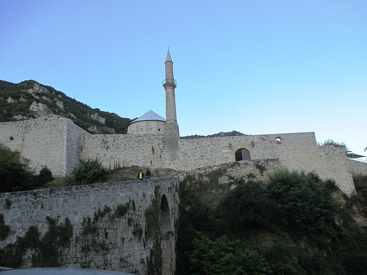
Through the centuries
c. 1400
The medieval fortress takes shape; the precise date and builder are unknown.
Ottoman era
The fortress acquires much of its present architectural character.
1953
The Regional Museum assumes care of the fortress.
Architecture & evidence
Polygonal tower
The museum documents an Ottoman tower with 16 sides and a height of 11 m. Its roof and surface details in this study are approximate.
Upper bastion
The highest bastion rises 16 m above the lowest point of the fortress, on the site of a medieval donjon.
Western minaret
A surviving minaret is embedded in the western rampart. This model indicates its location and vertical form without reproducing exact architectural detail.
Plan your visit
Approach via Varoš street to Varoš bb. The museum notes that the entrance bridge can make access difficult for disabled visitors.
Get directionsHistorical sources
- Regional Museum · history of Stari Grad
- Regional Museum · architectural map
- Regional Museum · visitor approach
- Travnik museum · old-town heritage itinerary
- Travnik municipality · development strategy and water geography
- Plava voda
- Wikimedia Commons · Travnik Fortress
- Wikimedia Commons · Travnik Fortress.JPG
